devlog
Every planet is the real one
NASA and USGS imagery and elevation for every body in the game, baked into tiles — plus oblate gas giants and Saturn's rings rebuilt from scratch.
By Royendgel Silberie
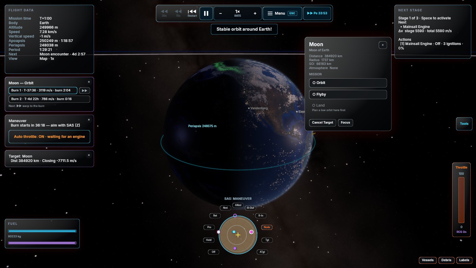
The planets were procedural. They are now photographs.
Every body’s surface imagery and topography is baked offline from public-domain NASA and USGS data into cube tiles that ship with the game. Mars has its real massifs, the Moon has its real craters in their real places, and Phobos and Deimos have the lumpy potato shapes they actually have rather than the spheres they used to be.
The parts that were harder than they sound
The gas giants are oblate, which they should be — Saturn is visibly squashed and now looks it. Its rings were rebuilt to sit on the equator, follow the planet’s obliquity, and render from both sides.
Three traps, for the record:
- The USGS WMS returns errors as HTTP 200 with an XML body. A naive fetch loop writes hundreds of megabytes of error messages and calls it success.
- Some PDS rasters are ISIS cubes wearing a
.tifextension. - A landable body’s elevation has to feed the terrain system, not the height tiles. Feed the wrong one and the orbit view and the ground you land on disagree with each other — which is exactly as confusing as it sounds.
Attribution for every source is in the credits, and in the license file that ships with the game.